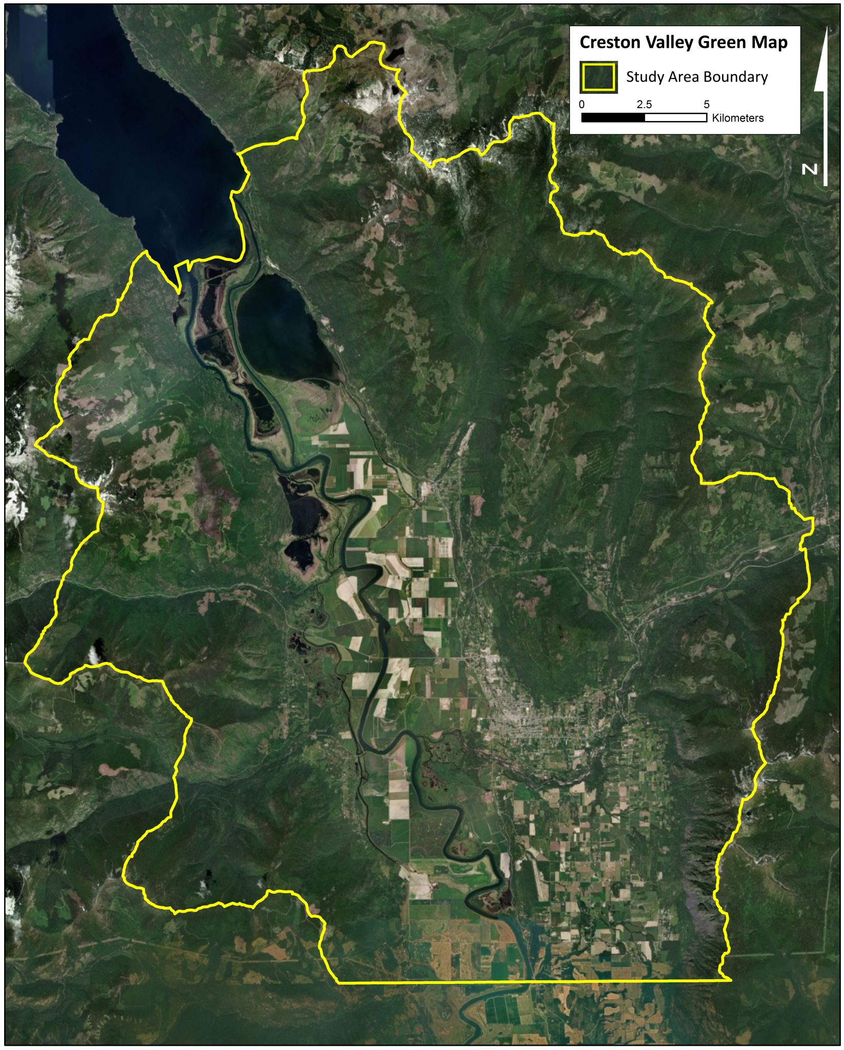

Combining all the themes in the Green Map
The Green Map process shows that conservation is complex and that there are many challenges and opportunities on the landscape. After looking at the six map themes individually, they were aggregated further into a Natural Features and Social Factors map. The Natural Features map is a combination of the following themes:
- Conservation Gaps
- Habitat Rarity
- Wildlife Values
- Forest and Flora Attributes
The Natural Features Map shows areas of high ecological value in the Creston Valley. The Social Factors map is a combination of two themes:
- Human Footprint
- Geotechnical and Wildfire Risks
This map shows areas where conservation efforts are more difficult due to high human footprint.

When the Natural Features and Social Factors map come together, they create the final product of the Creston Valley Green Map. This is the synthesis of areas of high ecological value and conservation potential. Notably:
- Areas of high natural value are:
- Upper Arrow Creek and Upper Duck Creek
- Mount Thompson
- Corn Creek
- Riparian areas (Goat River, Kootenay River, wetlands, creeks)
- High social constraints are:
- Creston
- Wynndel
- Lister Plateau
- West Creston
- Goat Mountain is a habitat island surrounded by human habitation

The Creston Valley Green Map shows a different perspective of the valley. From the map, where are areas that call for expanded protection? Why?
Green Map and Ecological Connectivity
The Creston Valley is an important area for connection between many types of habitat. It links the Selkirk and Purcell mountains and is important for grizzly bear dispersal. The Creston Valley is also one of the most significant low altitude South-to-North corridors in southeastern BC. In a recent study of climate change corridors in North America, the Selkirks and Purcells were identified as important pathways for climate connectivity. Biodiversity and health of ecosystems decline when landscapes are fragmented and corridors need to be preserved in addition to habitat.

To find connectivity corridors in the Creston Valley, the Natural Features and Social Factors maps were amalgamated. Areas with high natural value and low social constraints were rated to have high ‘conductance’. Areas like Wynndel and Town of Creston have low ‘conductance’ for wildlife. Also, areas with high natural value were used as internal nodes in the connectivity modelling. Using circuit-theory, the terrain was analyzed for areas of high conductance. High conductance areas are likely to be ecological corridors.

On top of those layers, climate change corridors and refugia were added to this map. The corridor and refugia areas come from Rachel Holt and Greg Utzig’s work for the West Kootenay Resilience Project. Together, the
- Expert-based proposed linkage and conservation areas,
- Modelled cross-valley connectivity and
- Modelled internal hotspot connectivity
formed the overall connectivity map for the Creston Valley.

The connectivity analysis shows ecological corridor potential:
- A major corridor running south-to-north
- A major east-west corridor crossing the northern half of the study area (Duck Lake – Upper Arrow)
- A double corridor crossing the southern half of the study area (Corn Creek/Porthill – Goat River /Skimmerhorn)
- A narrow east-west corridor across the central part of the study area (Summit – Goat Mountain)
- South-to-north connectivity across the Goat River (Thompson – Upper Arrow)

Connectivity corridors are becoming increasingly important in all aspects of conservation initiatives across the world. How could we, as a community, facilitate ecological connectivity in the Creston Valley?
Please provide your feedback. We also encourage questions and requests for more information. You can also reach us at crestonvalley@wildsight.ca
Thanks to Yann Troutet, Yellowstone to Yukon Conservation Initiative and Selkirk Geospatial Research Centre for collaborating on this project.