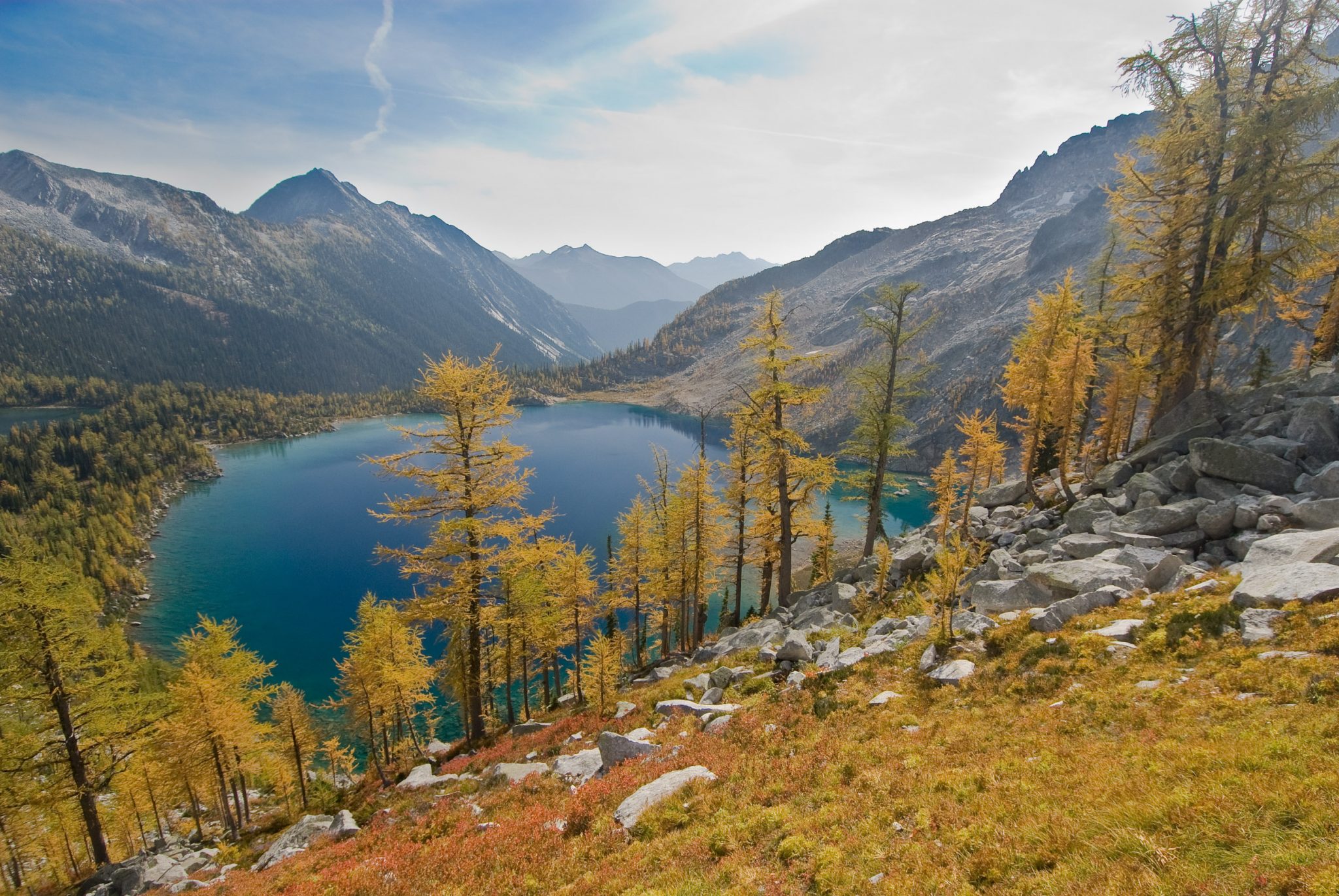
Northwest Mountain Experience proposal for an all-season use adventure tenure in the South Purcell Mountains will have a substantial impact on wildlife in the Purcell system and could decrease the amount of suitable and secure core habitat for sensitive species and put further stress on our declining wildlife populations.
Although this non-mechanized tenure will certainly have less impact than a mechanized tenure, Wildsight has concerns about Northwest Mountain Experience’s proposed adventure tourism tenure due to its potential for substantial impact on wildlife and wilderness in the South Purcells.
Cranbrook West Recreation Management Strategy
The province of British Columbia convened the Cranbrook West Recreation Management Committee with representatives from across the recreational spectrum to resolve ongoing recreational conflicts. The proposed tenure area is within the C07 landscape units. This landscape unit is designated as all season RH1, which does not permit aerial based recreational access. Helicopter landings within areas designated as RH1 area are not allowed. RH1 areas are designated because they have very high environmental or social sensitivity to aerial landings. The areas were also designated RM1, which means they are managed to maintain low development and usage. The RM1 designation calls for low incidence of managed trails, routes or sites, low acceptance of recreational changes in the landscape and low incidence of human contact or managerial presence. The proposed permanent structures (lodge, cabin, etc) are prohibited under the RM1 designation. In fact, they would only be allowed under the high development RM3 designation, not the low or medium development designations.
This proposal is in direct conflict with the RH1 and RM1 designations. This strategy was the result of a multi-year process facilitated by the province. Ignoring the strategy, which is government-endorsed policy, without full reference back to the stakeholder groups undermines public confidence in stakeholder processes.
Please reference this document (pages 21 and 23).
Impacts On Species Of Management Concern
Grizzly Bears
The long term viability and persistence of grizzly bear populations in their Southern range is directly linked to the amount and type of human activity on the landscape (Herroro 2005). The proposed tenure area occupies significant high value habitat for the South Purcell grizzly population.
The proposal overlaps significantly with important huckleberry patches and the region sees very high all season grizzly bear usage according to maps provided by Dr. Michael Proctor who has studied grizzly bears in the Purcells and Selkirks for over 20 years. The de-facto wilderness area from Mount Gill south to Armour Peak, including upper and mid Calamity Creek and Coppery Creek, sees extremely high levels of grizzly bear usage and has high huckleberry patch density. The importance of these huckleberry patches has been verified by ground truthing and grizzly bear collar data. Huckleberry patches drive grizzly bear habitat use, home range selection, reproductive output and density (Proctor personal communications). Significantly increased human usage during summer and fall in Calamity and Coppery Creek could reduce the amount of secure and suitable habitat for grizzly bears in this de-facto wilderness area.
Although Northwest Mountain Experience proposes only 622 summer person days, there is still a likelihood of disturbance and displacement of grizzly bears (particularly females) from suitable habitat and reduced habitat availability for the South Purcell grizzly bear population. Female grizzly bears in particular select habitats within their home range that provide abundant food forage and minimize human disturbance, and they avoid disturbed areas and slopes that have high human activity during daylight hours (Martin et al 2010). Areas like Coppery and Calamity see little human usage and provide abundant food sources and are likely secure core areas for female grizzly bears. With substantial increases in summer and fall human usage above the very low existing levels, the areas could become less suitable to sensitive females who look for areas with little to no human footprint and abundant food sources.
Wolverines
Although wolverines remain understudied outside of protected areas, numerous studies do confirm negative impacts from backcountry recreation on wolverine populations. Female wolverines presence in particular has been found to be negatively associated with heli-access skiing and backcountry skiing (Krebs et al 2007). Habitat use by male wolverines in winter was also negatively associated with helicopter skiing areas in the Columbia Mountains (Krebs et al 2007). It is clear that pressures from commercial backcountry use, industrial use, and human recreation activities may erode the capacity of an area to support wolverine populations, especially reproductive females (Krebs 2000).
Wolverines in the South Purcells are believed to exist at low density and exhibit low genetic connectivity with other populations in Southeastern BC (Hausleitner and Kortello 2014). The latest unpublished research from the South Purcell region suggests that wolverine presence is negatively correlated with human disturbance and forest service road density but positively correlated with protected areas such as provincial parks and the Purcell Wilderness Conservancy (Kortello, personal communication). In addition wolverine were also found to be positively correlated with marmot habitat ( defined as the intersection of alpine areas and talus slopes with south aspect (135-185 degrees) and slope less than 60%) (Kortello, personal communication). Wolverines in the South Purcells are struggling to interchange DNA because of our human footprint on the landscape (Hausleitner and Kortello 2014). Wolverines may be avoiding areas of intense use and forest service roads because of disturbance from snow machine and helicopter usage and selecting for protected areas because of a lack of disturbance (Kortello as per comms). This means that reducing human impact on unprotected crown land is critical to ensuring wolverine persistence and connectivity in the Purcell Mountains.
Given this area’s proximity to protected areas, abundant avalanche chutes, significant marmot habitat, intactness, low road density (there is only a single road within the tenure, along Coppery Creek) and low human usage, the Calamity, Office, and Coppery Creek area likely supports wolverines. This area may be one of the few areas south of the Purcell Wilderness Conservancy that still supports a healthy wolverine populations in the South Purcell Mountains because of its low human usage, absence of mechanized winter usage, and because it is de-facto wilderness with only a few kilometres of road. Adding an intensive-use winter ski touring operation could erode this area’s capacity to support wolverines.
Mountain Goats
Mountain goats are extremely sensitive to human activity and mechanized disturbance. Mountains goats disturbed by helicopter traffic within 2000 meters will exhibit a predator response. They have evolved to escape predators by always having escape terrain nearby (i.e. cliffy, rocky, mountainous terrain) where they can out climb and avoid predators. However when a helicopter flies close to mountain goats, they cannot escape the predator represented by the sound and their heart rates and stress levels increase dramatically. Their elevated heart rates and stress levels decrease within minutes of the helicopter leaving, however, mountain goats who are repeatedly exposed to helicopter activity will abandon critical habitat or at least expend significant energy in avoidance behaviours (Festa Bianchet and Côté 2008).
Retaining a 1500m buffer or flight line from mountain goats is not sufficient. Government guidelines suggest that helicopter flyover patterns should avoid known goat habitat by at least 2000m in order to prevent adverse effects on mountain goats (BC MWLAP 2001).
Mountains goats are known to occupy upper Crawford Creek. Past goat census data shows goats in upper Crawford Creek (Poole and Klafki 2015). The upper St Mary’s population has declined by 17% (Poole and Klafki 2015). With the main proposed flight route from Crawford Bay going up Crawford Creek and into the upper St Mary’s via Rose Pass, it may be extremely difficult to avoid mountain goats with a 1500-2000 metre buffer. The proposed flight route from Cranbrook would significantly overlap with high-use mountain goat areas, such as ridges overlooking the St. Mary’s River around Pyramid Creek, ignoring BC guidelines.
Impact On Core Areas
While the Southern Purcell Mountains are vast and rugged and still exhibit all of the wildlife populations that have been here for millennia, many of the drainages have been logged and/or heavily impacted by industry and recreational users. Although the landscape has some degree of fragmentation, there are many areas and drainages that offer wildlife enough room to roam due to their intactness and low road density. These areas are core or anchoring areas for wildlife in the South Purcell Mountains.
Coppery and Calamity Creek are examples of these core areas. These two drainages make up a large area of de-facto wilderness adjacent to the Purcell Wilderness Conservancy. The entire area of nearly 110 square kilometres has only one old and rarely used road, making it very intact relative to nearby areas. This areas values lies in its high-density huckleberry patches, core grizzly bear habitat, high value avalanche paths that provide forage for grizzly bears, elk and moose, intact old growth forests at mid and lower elevations and endangered whitebark pine stands in the alpine (Utzig 2012). Huckleberry mapping layers and collar data support this as one of the core areas for grizzly bear in the South Purcells (see Proctor map).
Conclusion
The South Purcell region is one of the last non-heavily tenured areas in the Columbia Mountains. Adding an additional adventure tourism tenure and a backcountry lodge and cabin to this already stressed mountain system will decrease the amount of high value habitat for sensitive species, increase stress on wildlife populations, and result in less room to roam for wildlife by fragmenting the landscape.
References
British Columbia Ministry of Water, Land, and Air Protection. 2001. Interim guidelines for mitigating the impacts of commercial backcountry recreation on wildlife in British Columbia. Victoria, BC.
Kortello, Andrea. Registered Professional Biologist. Personal Communications Via Email.
Kortello, A., D. Hausleitner 2014. Abundance and distribution of wolverine in the Kootenay Region: 2013 field season report: Purcell Mountains. Prepared for Ministry of Forests, Lands and Natural Resource Operations, Nelson, BC
Krebs, J., Lafroth, E., Parfitt, I. 2007. Multiscale Habitat Use by Wolverines in British Columbia, Canada. Journal Of Wildlife Management 71 (7).
Krebs, J. A. and D. Lewis. 2000. Wolverine ecology and habitat use in the North Columbia Mountains: Progress report. Pages 695–703. in Darling, L. M., editor. Volume 2. British Columbia Ministry of Environment, Lands, and Parks, Victoria, Canada and University College of the Cariboo, Kamloops, British Columbia, Canada.
Martin, J., Basille M., Moorter B., Kindberg J., Allainé D., Swenson, J. Coping with human disturbance: spatial and temporal tactics of the brown bear (Ursus arctos) Canadian Journal of Zoology, 2010, 88:875-883, 10.1139/Z10-053
Poole, Kim, and Klafki, Richard. 2015. Kootenay Region Mountain Goat Population Assessment 2013-2015. BC Ministry of Forests, Lands, and Natural Resources, December, 2015.
Proctor, M., Boulanger, S. Nielsen, C. Servheen, W. Kasworm, T. Radandt, and D. Paetkau. 2007. Abundance and density of Central Purcell, South Purcell, Yahk, and south Selkirk Grizzly Bear Population Units in southeast British Columbia. BC Ministry of Environment, Nelson, British Columbia, Canada.
Proctor, Michael. Nielsen, Scott Kasworm, Wayne, Servheen, Chris Thomas G. Radandt A. Grant Machutchon Mark S. Boyce. 2015. Grizzly bear connectivity mapping in the Canada-United States trans-border region. Journal of Wildlife Management 79(4):544-588.
Proctor, Michael. PhD grizzly bear biologist, Birchdale Ecological. Personal communications via email.
Utzig, Greg. 2012. Draft Conservation Plan for a Portion of the Southern Rocky Mountain Trench Subregion: Regional Landscape Units 9 and 10: Columbia-Windermere Lakes and Horsethief-Skookumchuck from the West Kootenay Climate Vulnerability and Resilience Project. Kutenai Nature Investigations Ltd. Retrieved from Kootenay Resilience website: http://www.kootenayresilience.org.