Curious about maps and conservation? Meet Evan Dux, Wildsight’s Geographic Information Systems (GIS) Summer Student, entering his fourth year at Selkirk College this fall. Evan’s passion for the wild outdoors, along with technology, data and maps has been an awesome addition to our team. Read on to learn about how we use maps in our conservation efforts.
Whether you are planning a weekend hike, getting off at the right bus stop, finding your way around a building, or sailing the open ocean—maps and the information they provide are a valuable tool in many aspects of our lives.
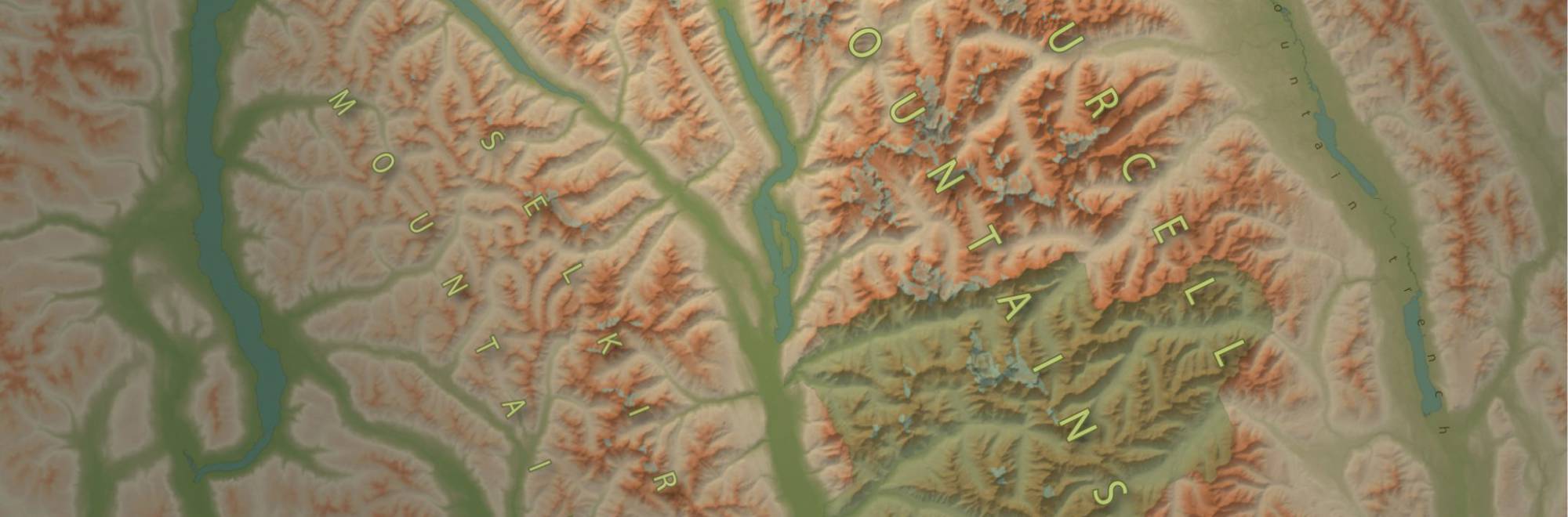
For centuries, maps—and the tools used to create them—have helped to tell stories, make new discoveries, and guide people across unknown landscapes.
Chances are you have seen a map at some point in your life that has caused you to stop and look at it for a while; whether it had a personal meaning, a strong message, or you just like how it looked. For me, these experiences with maps led me to the Geographic Information Systems (GIS) program at Selkirk College in Castlegar, BC.
So, how do maps, technology, and data help conserve the wildplaces that we care so much about?
In conservation, maps and technology play an important role in informing management decisions and land use planning. For example, we can observe natural and human caused changes to our landscape over time through mapping satellite imagery. To help protect a species at risk, we can track the movement patterns of wildlife through collaring wildlife, using remote Global Positioning System (GPS) data, and mapping what regions they need to move through.
Conservation can be a technical field, populated with biologists, ecologists, land owners, land managers, and specialists of all kinds. Because of its science-based nature, there are often difficult to read charts, graphs, tables and scientific papers. Maps are a useful tool to help illustrate, communicate, and distill this technical-jargon, communicating findings in the data as a more digestible, visual product.
As a summer student at Wildsight, I am spending the summer using mapping technology to help conserve and protect our wild spaces. I am creating maps to: help inform wildlife habitat management in the East Kootenays, highlight places of ecological importance such as Qat’muk (Jumbo), and foster a wider appreciation and interest in Wildsight’s annual Columbia River Field School program.
I have long admired the work that Wildsight does, and the people that I have had the chance to work with this summer are wonderful. I am incredibly proud to be able to contribute my skills to an organization that does so much to speak up for our wild places.
Thanks Evan!