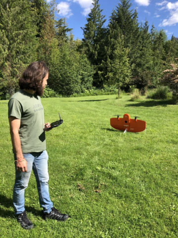
Wildsight Creston Valley Branch is launching a pilot project to look at how animals are moving in the Creston Valley, and the health of riparian areas. Creston is a biodiversity hotspot in BC and in Canada, and has a number of species at risk in the valley. This is due to the incredible floodplain and wetland habitats in the Creston Valley, as well as the connection to upland forest habitat. Many animal species such as grizzly bears, frogs, elk, kokanee and owls require different habitat types depending on the season or life stage. The connectivity between these habitat types are critical to maintaining healthy wildlife populations.
Wildsight Creston Valley has partnered with Above Sensing, a company of innovative geospatial analysts. High-resolution aerial data will be collected and processed using AI-powered geospatial analytics to understand the quality of riparian habitat and connectivity. This pilot program will take place in a 500 ha area of Canyon-Lister from Oct 24th to October 28th.

For more information on this project and the data collection please go here: https://www.abovesensing.ca/projects/the-riparian-habitat-and-its-connectivity-in-creston-valley
Questions? crestonvalley@wildsight.ca
Thank you to Yellowstone to Yukon Conservation Initiative for helping make this project possible.


